
walker
Record your walks and hikes. Keep them to yourself.

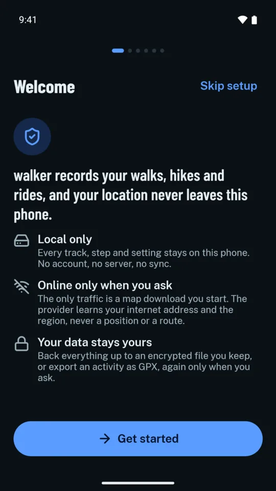
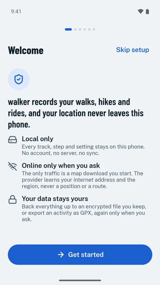
You buy walker once, offline maps included: no subscription, no account, no ads. It records your walks and hikes on maps that work without signal, and keeps every track on your phone. Each walk stays in your history with its stats and steps, and in the mountains walker shows how hard each path is, the weather warnings and the nearest rescue point. Most popular trackers, Strava and Komoot among them, upload every GPS trace instead, and a location history says where you live, work and spend your time. walker has no server for your tracks to go to, and nothing is public: no profile, no followers, no feed.
Ferdl, the marmot up there, keeps you company in the app: he greets you in Help, hands over your badges and fills the odd wait. He knows where you walked, and he keeps it to himself.
Coming soon to Google Play, for Android 10 and later.
What you get
The whole walk, recorded
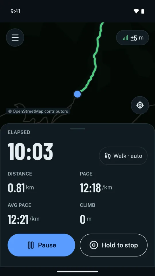
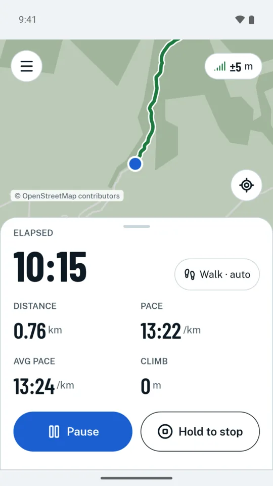
- Start, put the phone in your pocket and walk. walker records with the screen off, and its notification shows time and distance, so you can check them and pause without opening the app.
- Stop for the view or a sandwich and walker pauses by itself, so your time is the time you moved. It tells walking, hiking, running, cycling and driving apart, and you can correct it. A drive never counts toward your goals.
- Every point is saved the moment it arrives, so a walk isn't lost when Android closes walker or the battery dies. The recording is waiting when you come back.
- Start from the map, from a tile in Android's Quick Settings or from a widget on the home screen.
- Spoken cues each kilometre or mile, or every 5 or 10 minutes, in an offline voice in walker's language. For training, intervals and run-walks, and programmes from your first 5 k to the half marathon, paced from your own 5 k, with each step said and buzzed.
- Heart rate from a Bluetooth strap, with your zones, and a target zone with spoken cues if you want one. On a bike, speed, cadence and power sensors, and a screen for the handlebar: four big figures, the turn and the climb ahead, and Lap and Pause at glove size.
- The recording shows how many hours the battery has left. Save battery takes a fix every 5 seconds while you walk steadily, and below 15 % walker turns off the compass and draws the map less often.
A map that works without signal
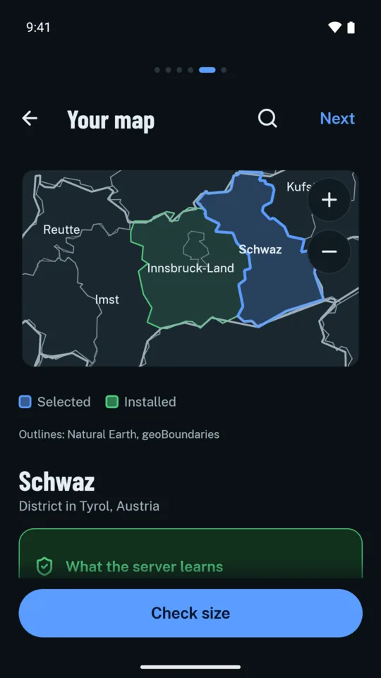
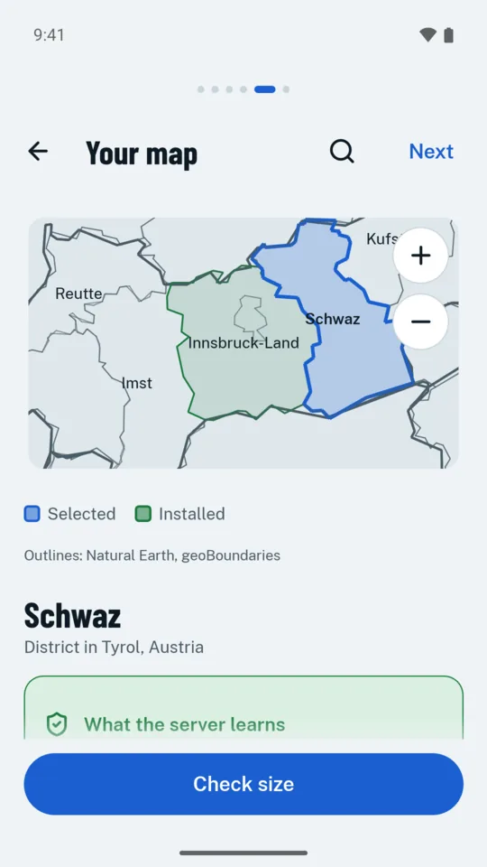
- Download the regions you walk in before you go: a state, a district, or just the area on screen. The maps are built from OpenStreetMap, with its paths and trails.
- Downloading a region costs nothing extra. Most hiking apps sell offline maps as a subscription; walker has no map subscription and nothing more to buy.
- The map shows huts, shelters and water, marked hiking routes, paths by their difficulty and protected areas. Tap a hut for its height, distance, beds and season.
- Paths are drawn by the Alpine clubs' grades, T1 to T6, so a ridge doesn't look like a forest path. They come from OpenStreetMap, so check a path you don't know before you rely on it.
- The nearest rescue point and its number are always a tap away, worked out on the phone without a connection, so you have it ready for an emergency call. The emergency card puts on one screen the number to call in the country you are in, where you are as rescue asks for it, the nearest rescue point and the way there, your battery and the minutes to sunset. walker calls and sends nothing itself.
- While recording, Share my position sends where you are as a text, through the app you choose, to someone who should know. There is no live tracking on a server.
- Search the map offline for places, peaks, huts and named ways, or go to coordinates in degrees, UTM or MGRS. A long press shows a point's coordinates.
- The map can turn with you and tilt. Layers show slopes over 30° in four classes, and cycle and mountain-bike routes. What can I see from here names the peaks, huts and sights in view within 30 km, worked out against the terrain.
- Print a walk's or a plan's map on A4 or A3 pages, at 1:25 000 or 1:50 000 with a grid, or save it as a PDF.
- Contour lines and hillshading show the shape of the mountain, made on the phone from the terrain you download. For the areas you choose, add Germany's official topographic map (TopPlusOpen) or aerial photos, such as those of the German states and Austria, with the map's paths drawn over them.
- Official weather warnings for Germany and Austria, the rain radar, and from November to May the avalanche danger for Tyrol, South Tyrol, Trentino and Switzerland, fetched from the services only as you allow, and never with your position. walker keeps them up to date while you walk, and can watch the warnings for your regions in the background if you switch that on.
- On the trail the map needs no connection, so it still shows your way in a valley without reception, and it uses none of your mobile data.
Plan a hike, offline
- Mark a few points on the map, and walker finds the way between them on the paths, offline, with the distance, the climb and the time at your own pace.
- Choose the hardest path you want, T1 to T6, and whether to take lifts or avoid roads. walker never routes over a path harder than that, or over a private or closed way.
- One tap downloads what the plan needs, the map and terrain around it. The mirror sees which blocks of the map, never your line.
- Or let walker plan for you: a loop of the length you choose from where you are, on paths you haven't walked, or a waymarked route you tap on the map or find by name. Plans can last several days, with overnight stops and each day's figures.
- Each plan says when you are back before sunset, and the latest start that still makes it. If you ask, it shows the forecast along the line at the times you will be there, from GeoSphere Austria or the German weather service; that sends them a point near the plan's highest point.
- Plan a ride too, for a road, trekking, mountain or e-bike, at your own speed on each gradient.
- Follow a plan, a route you walked or a GPX file: walker buzzes before each turn where the line leaves the path you are on, and finds a way back to it when you ask. On a route you know, it says whether you are ahead of your best or of last time. It guides along a line, never to an address, and doesn't reroute by itself.
- Share a plan as GPX. If you switch it on, walker vibrates once when you have left a plan or a route for two minutes, and stays quiet for a short detour.
See how far you have come
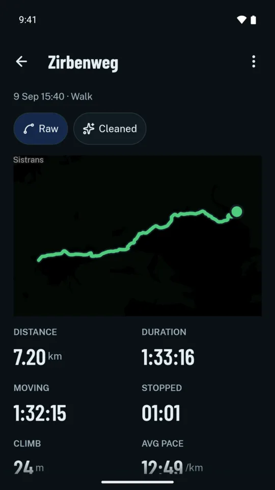
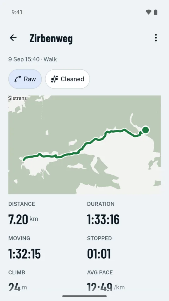
- History: open any walk to see its track, elevation profile, pace and splits, and how long you moved against how long you stood. Show a track as recorded, or cleaned of GPS jitter so it doesn't zigzag.
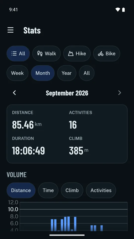
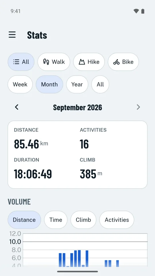
- Stats by week, month and year, so you can see whether you walked more than last month: distance, time, elevation, and your pace against the gradient.
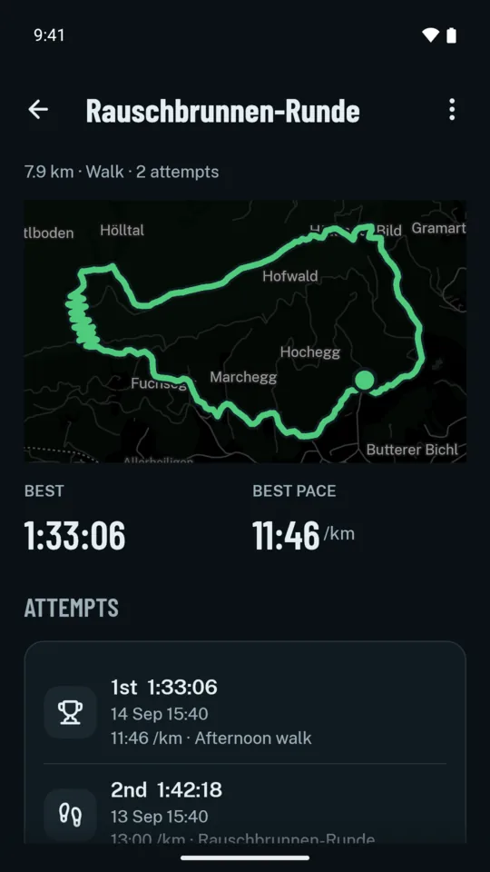
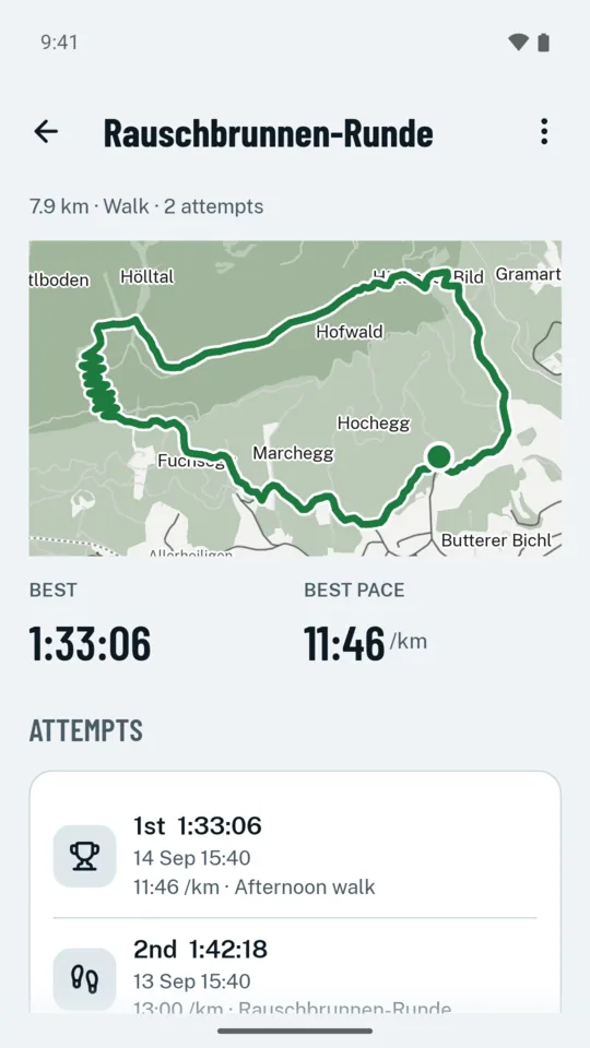
- Routes: walk the same way again and walker notices, ranks your attempts and times the stretches your walks share, so you can see whether you are getting faster.
- Running: a run is a type of its own, with best efforts from 400 m to the marathon, your cadence, and race times predicted from a recent run.
- Heatmap: every walk of a week, month or year on one map, with how many paths you have walked, which were new, and the summits you reached.
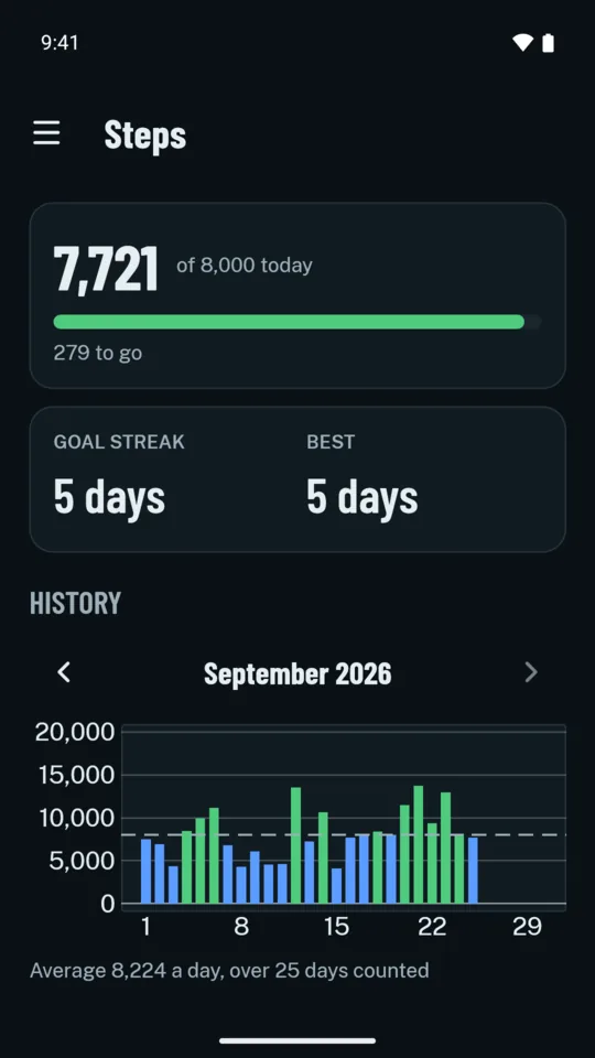
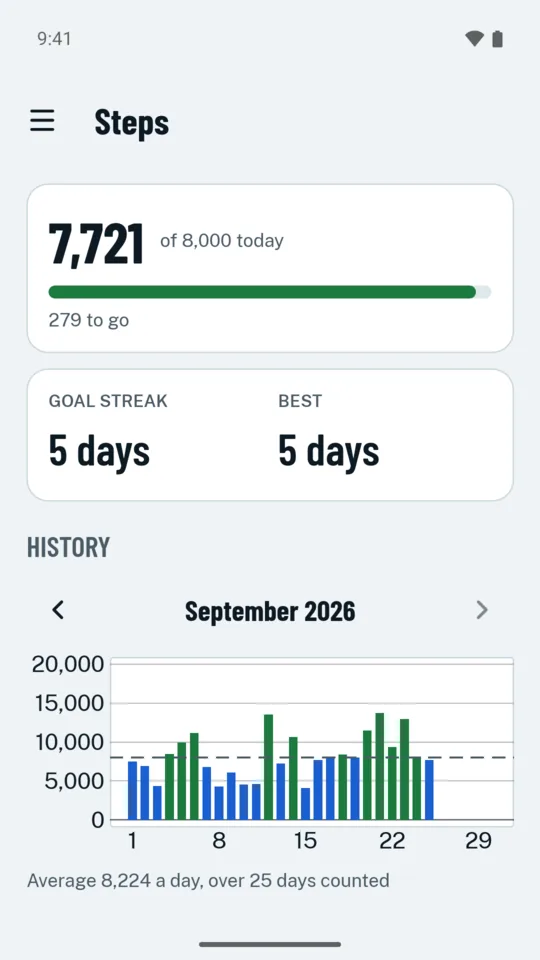
- Steps all day from the phone's step counter, with a daily goal you set yourself (8,000 to start), so the walking you do between hikes counts too.
- Notes and pictures: add a description, tags, a cover and points with comments and pictures to a walk, a route or a plan, and search your history by them. Take pictures while recording, or add them from the gallery later.
- Tidy up: trim a recording's ends if you forgot to press Stop, split a walk at a long pause, or join two into one. walker suggests a name from where you went, such as “Brocken from Schierke”.
- Your year in review: the year's walks, summits, new paths and badges as pages to swipe, and one card to share. For runners, this week against your usual four, and the kilometres on each pair of shoes.
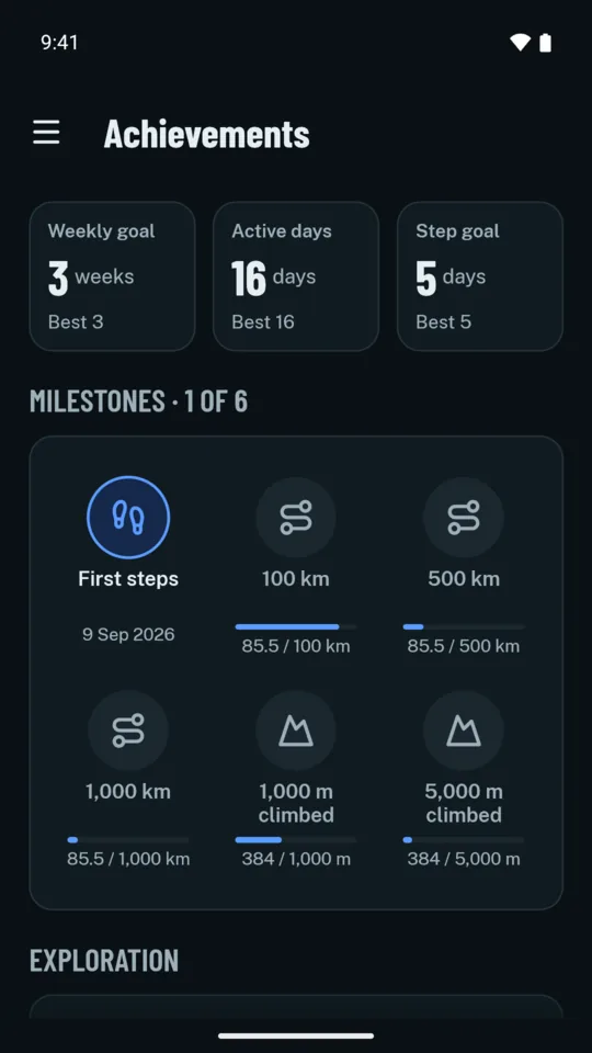
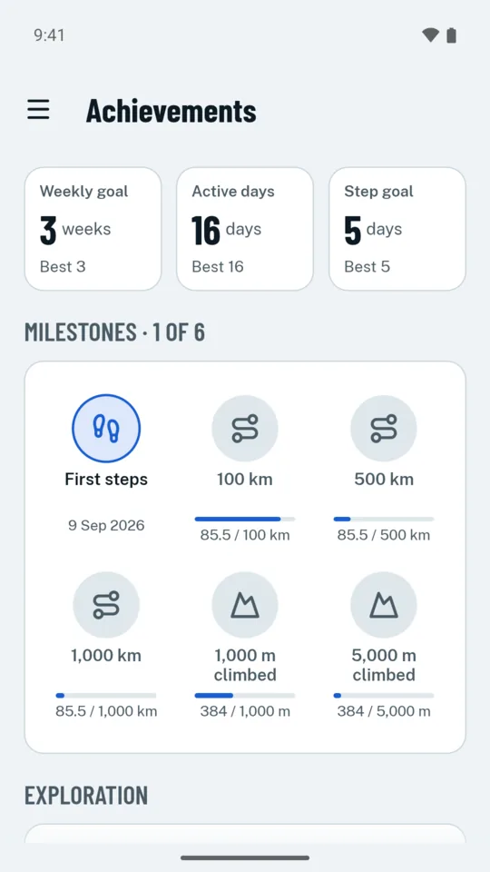
- Achievements: badges for milestones, exploration and consistency, and streaks for your weekly goal, active days and daily steps, to keep you going out. Daily reminders come only if you switch them on, and either goal can be switched off.
- Share image: send a walk, a badge or a best effort as a picture, only when you ask. A walk's map leaves out 200 m around its start and end, where home or work would show, unless you show them.
Your walks stay yours
- Backups: save everything to one file, encrypted with a passphrase you choose, and keep it wherever you like, for example on the end-to-end encrypted Proton Drive, so a lost or new phone doesn't cost you your walks. Restoring adds what is missing and never overwrites what is there. Or let walker back up every week into a folder you pick once, such as one Syncthing or Nextcloud syncs, keeping the last five.
- Bring your history: import your walks, runs and rides from Strava, Komoot or a watch as GPX or FIT files, or a whole bulk export, offline. What is already here is skipped.
- GPX export for any walk, so you can open it in another app or send it to a friend, for example over Signal, or every walk at once in one zip.
- Health Connect: if you turn it on, walker writes each activity's summary there for your other fitness apps, never its route, and can bring in a watch's workouts.
- Privacy & storage shows what walker stores and every time it went online, so you can check its promises yourself. One button deletes everything.
- If k-forge stopped, walker would keep working: every walk and every region you downloaded is on your phone. Only new map downloads need walker's mirror.
What it needs
- Android 10 or later, with GPS.
- A step counter for steps. walker records without one.
- A connection only to download a map region, satellite orbits, the weather or a plan's forecast. Recording, planning, history, import and backups work offline.
walker asks for each permission when it needs it, and explains why first. You can say Not now to any of them.
| Precise location | To record your track and show where you are on the map. |
|---|---|
| Location all the time | Optional. Lets a recording carry on by itself if Android closes walker. Without it, the recording is kept, and walker offers to resume it when you open it again. |
| Physical activity | To read the step counter. |
| Nearby devices | Optional. Only to connect a heart-rate strap or bike sensors. |
| Notifications | For the recording notification with its Pause, Resume and Stop buttons, and for weather warnings and the alert when you leave a route, if you want them. |
| Internet | Only for map regions, when you tap Check size, Download or Check for updates, for a plan's download, for satellite orbits, the weather and a plan's forecast, as Settings allows, and for crash reports if you agreed to share them. |
Help
How to get started, back up, change phones, and what to do if something goes wrong: walker help.
Three articles answer the questions people ask before they trust a tracker: hiking with offline maps on Android, when Android stops your tracker in the background, and what your walking app knows about you.
Privacy
Read walker's privacy policy. In short: walker collects nothing, unless you agree to share crash reports and a monthly summary, which never hold your position.
Contact
Map data © OpenStreetMap contributors, available under the Open Database Licence.